 Adventure
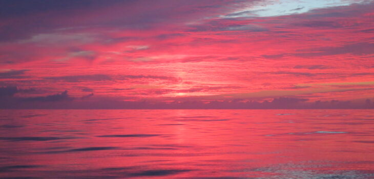
Sailing from the Azores
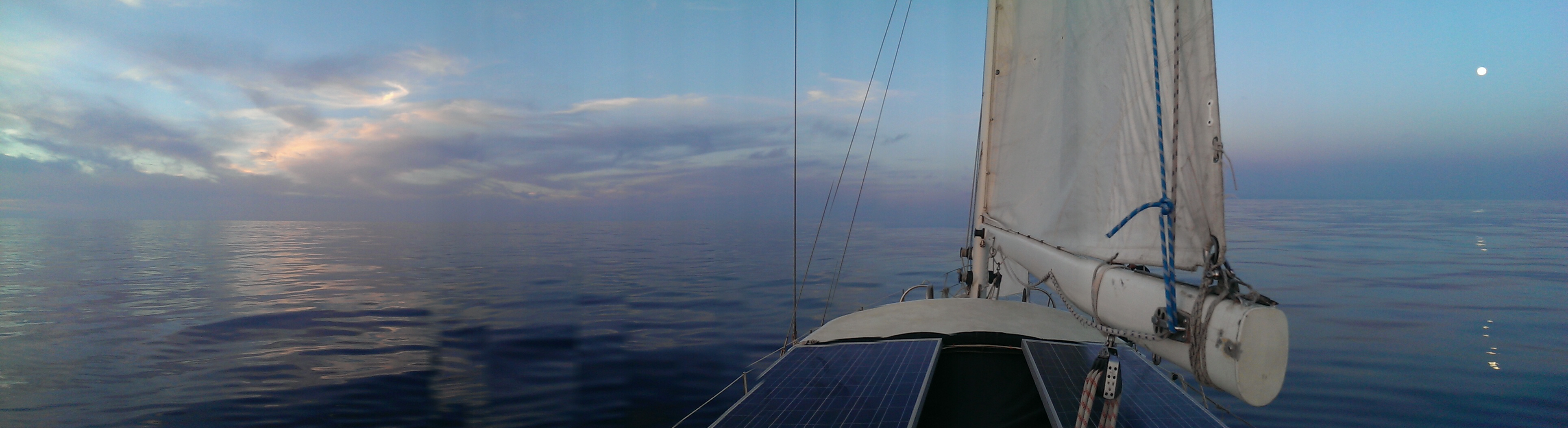
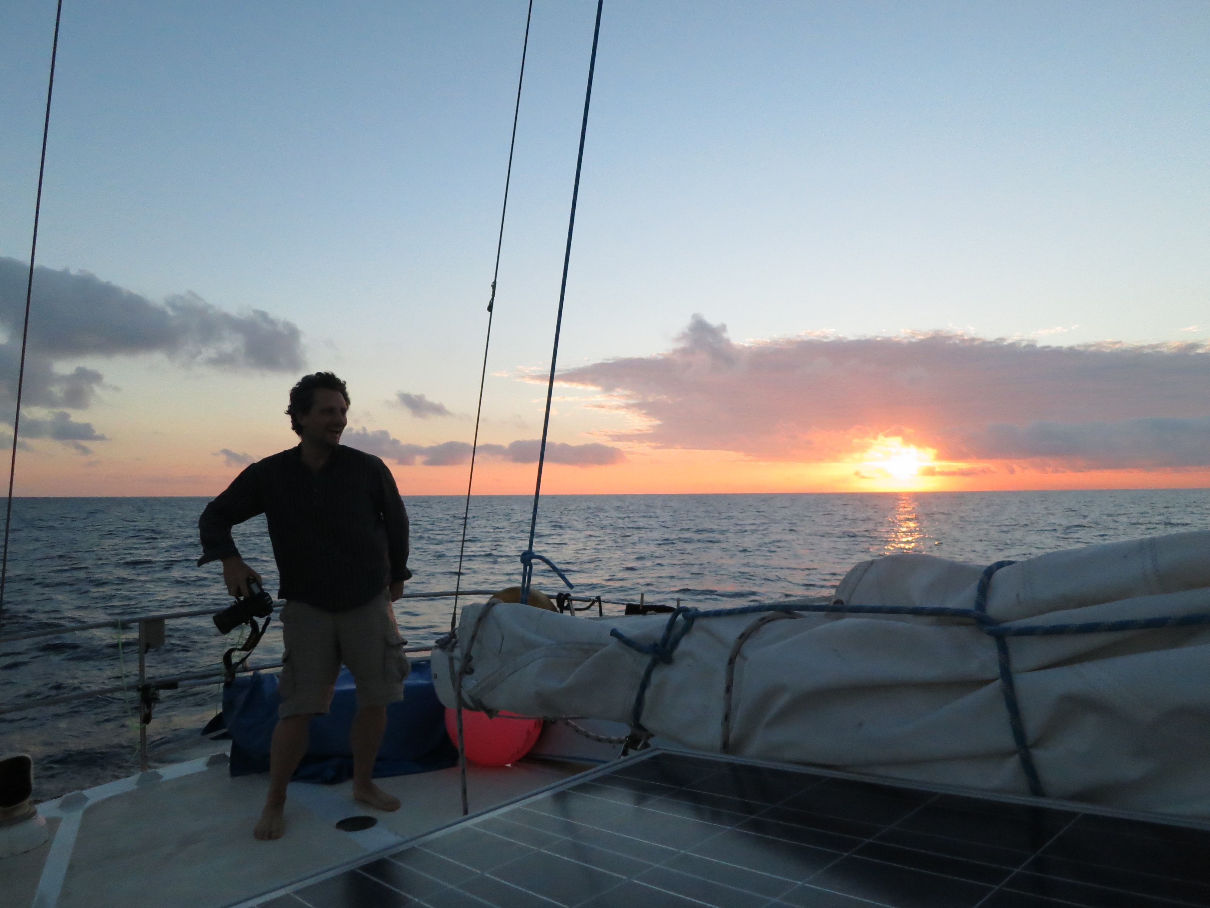
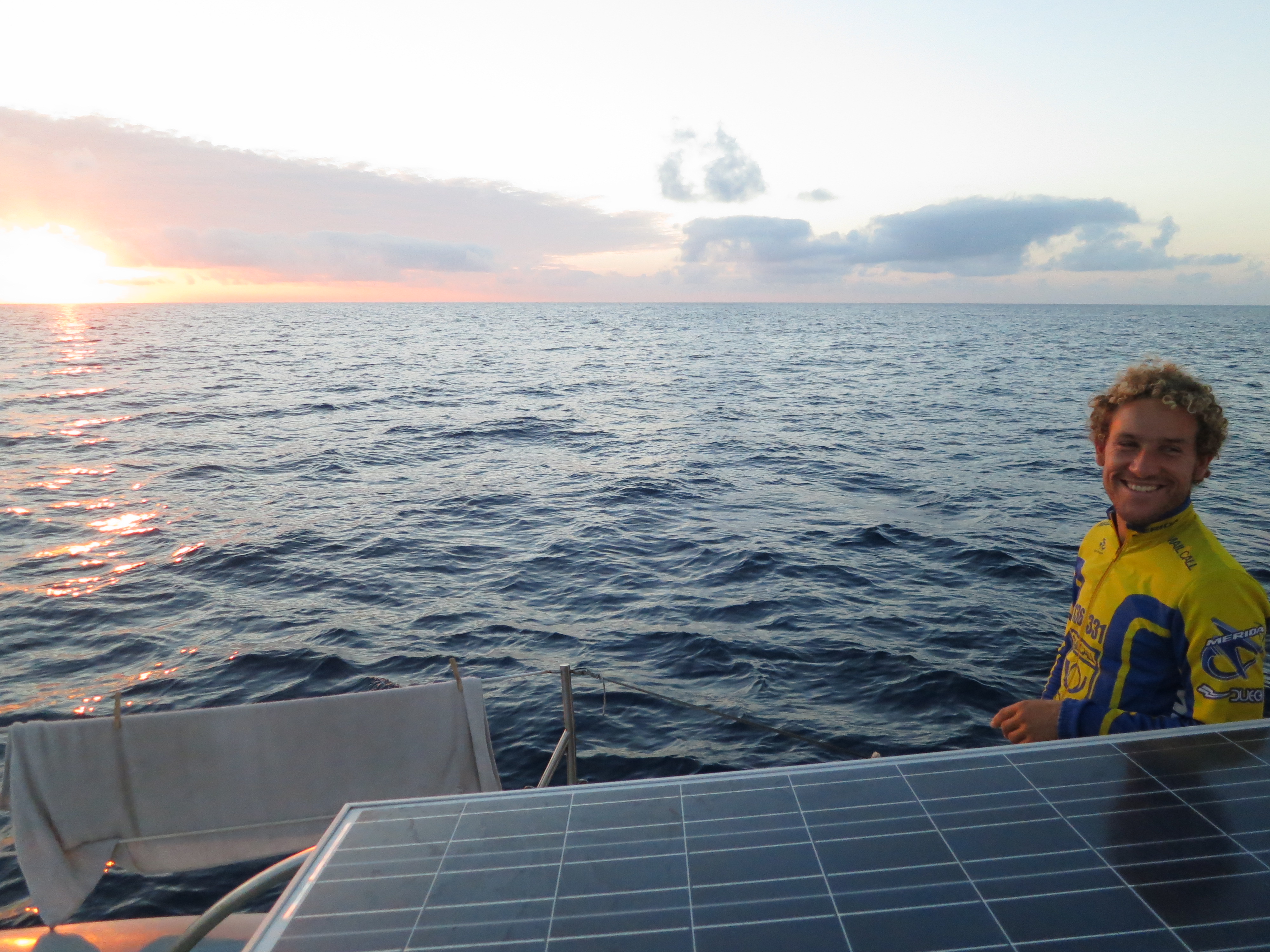
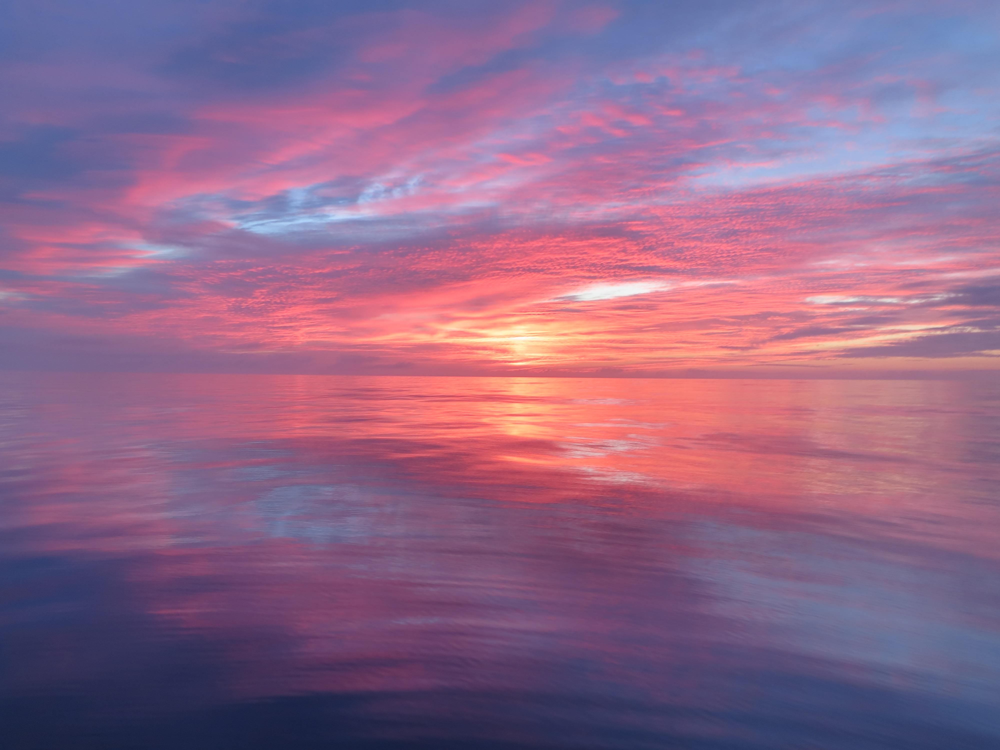
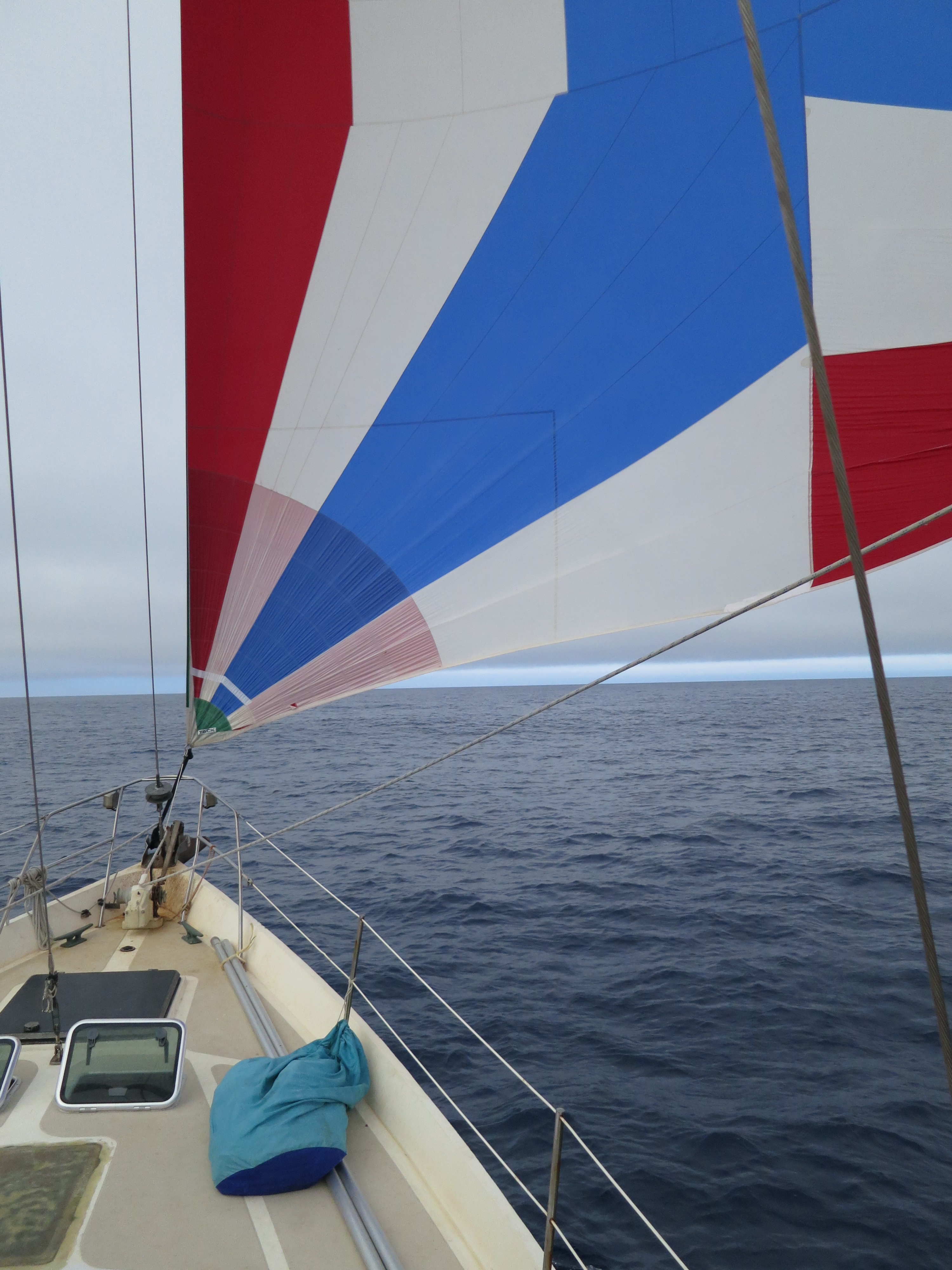
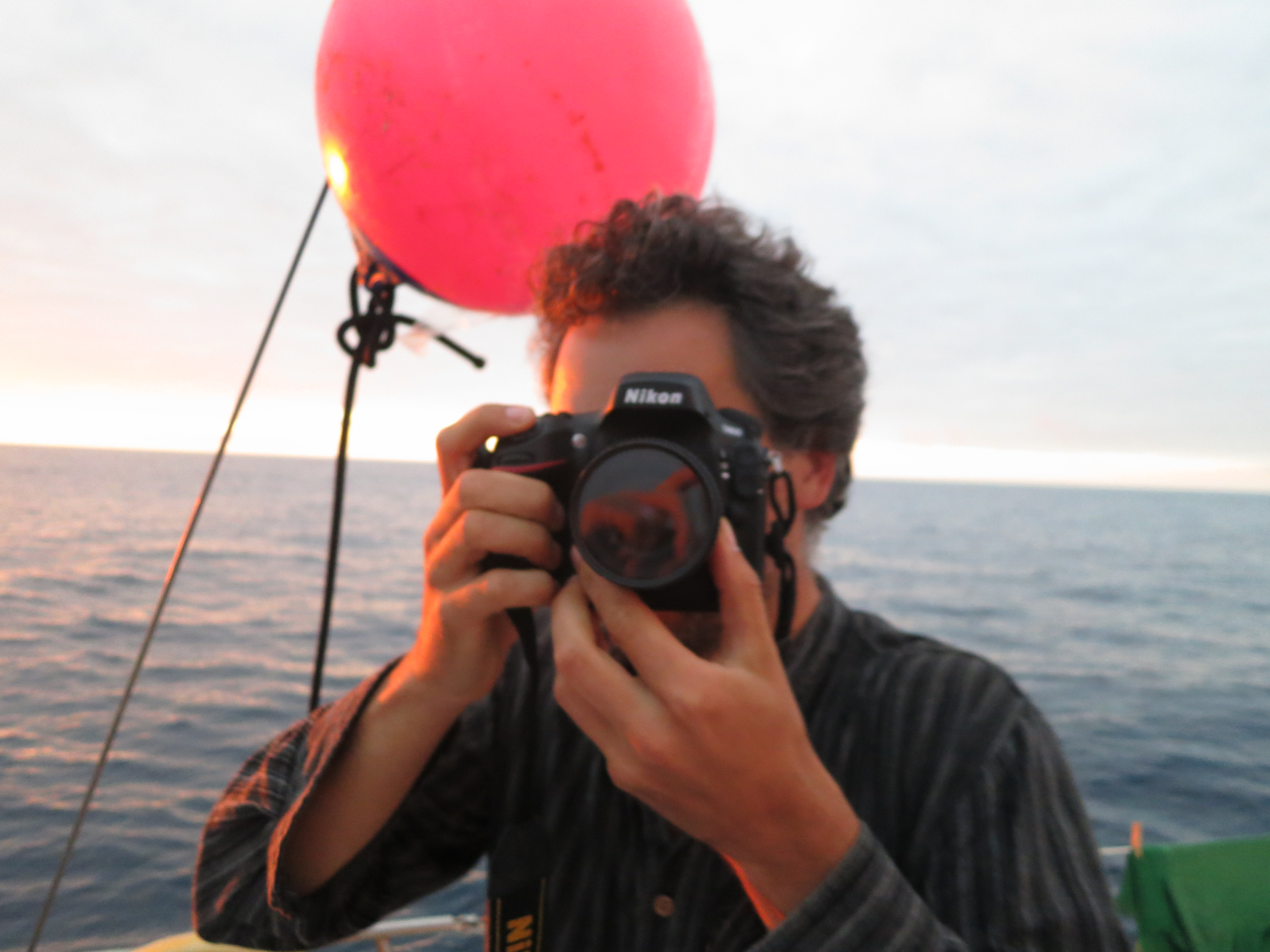
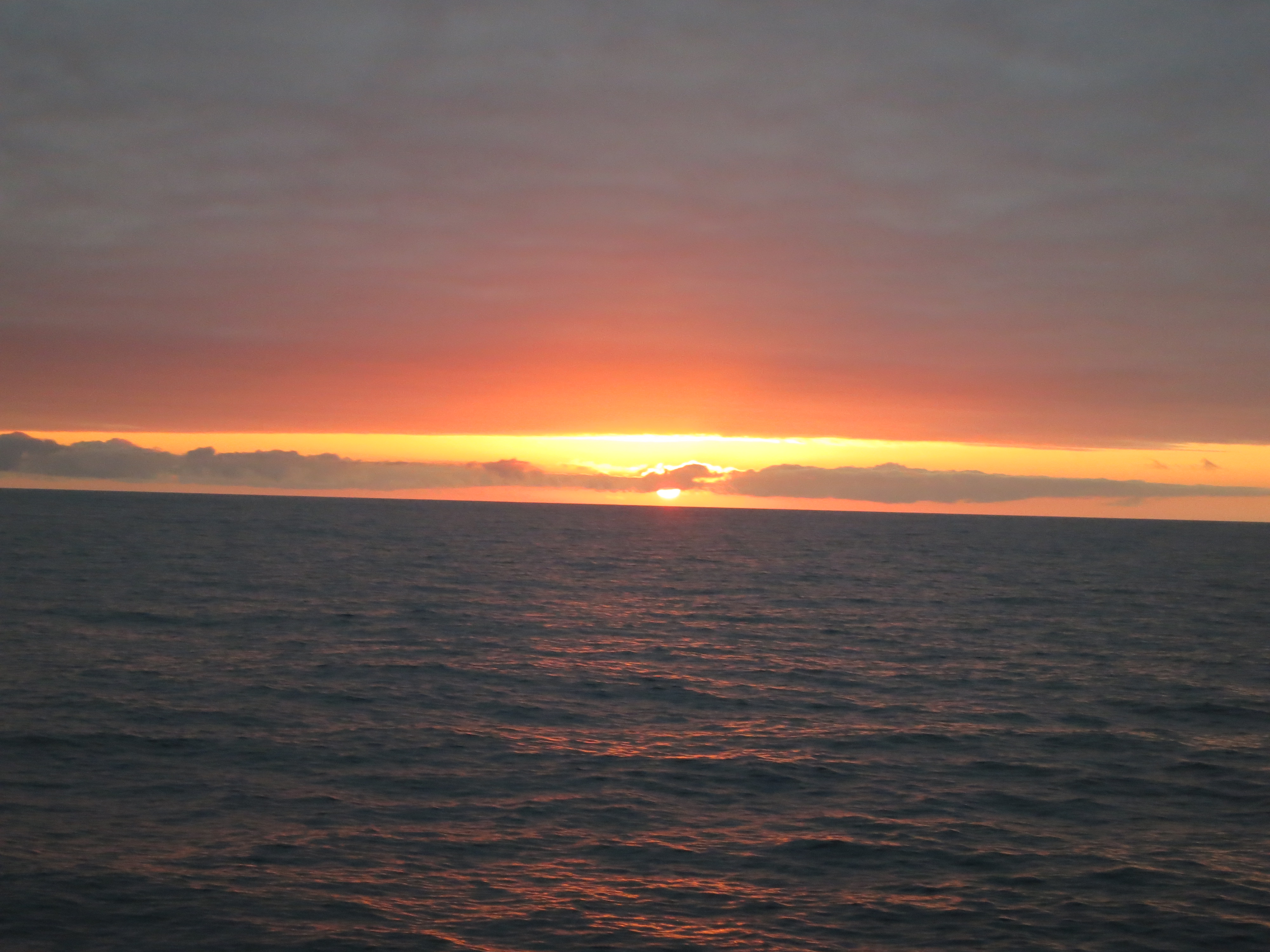
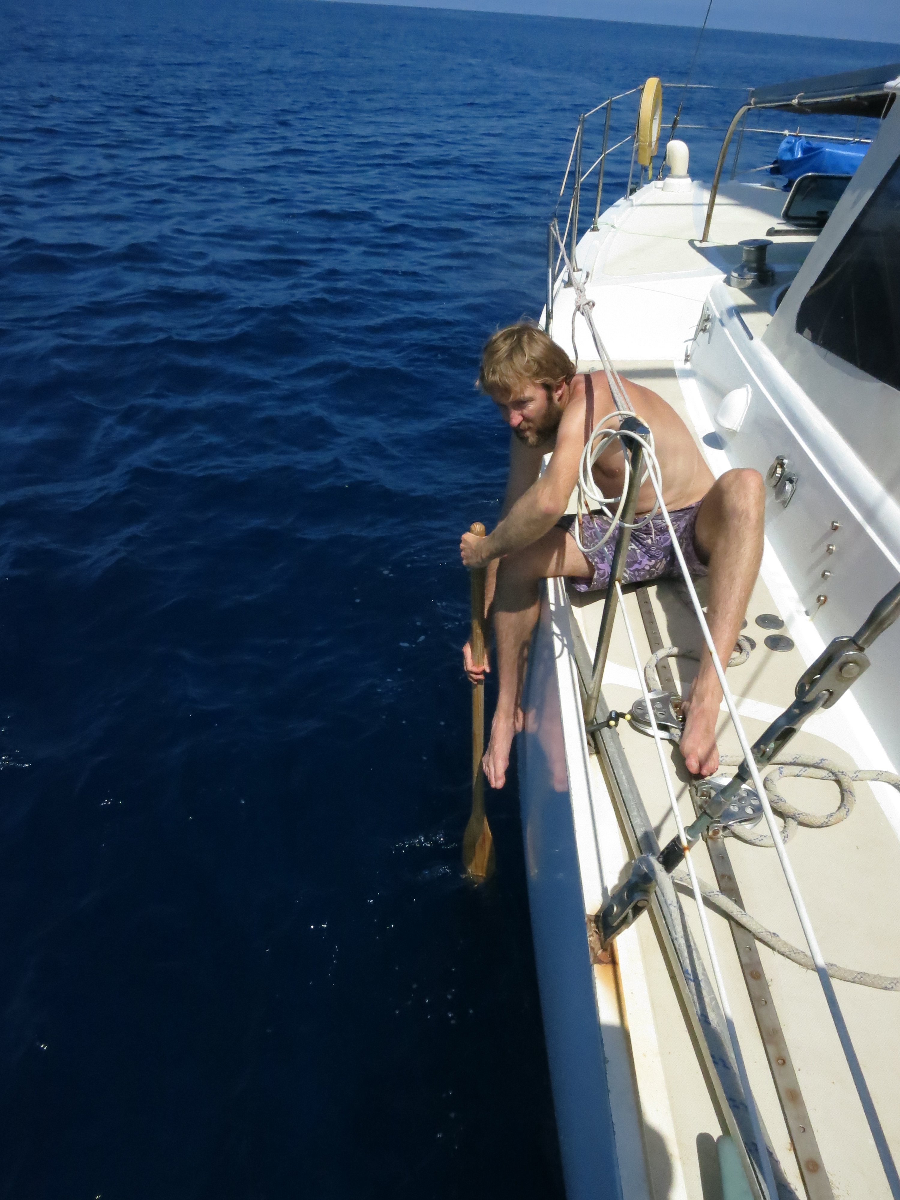
Well sailing, i’d rather call it bobbing. After there was no wind, and the diesel-tanks contained water too (which is logical, as the water tanks contained some diesel), this was a pleasurable exercise in patience, thanks to Benno, Captain Gendal and Alexander.
Map of the route “Sailing from the Azores”: 1,260,698 m, 4,132 m of climbing and 4,139 m of descent, elevation between -26 m and 23 m, time 222:28:28. It starts at 38.15928, -23.15266 and ends at 38.70227, -9.16318 (latitude, longitude).


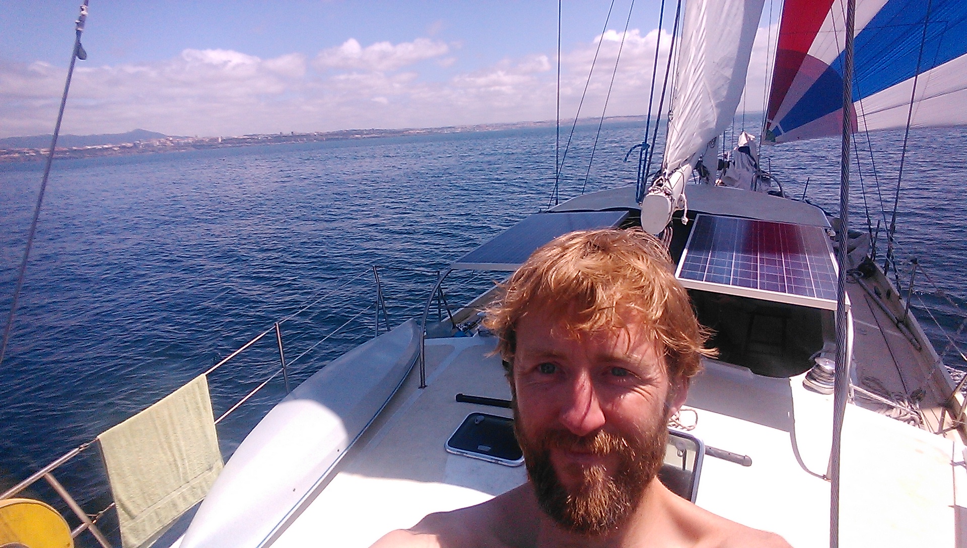
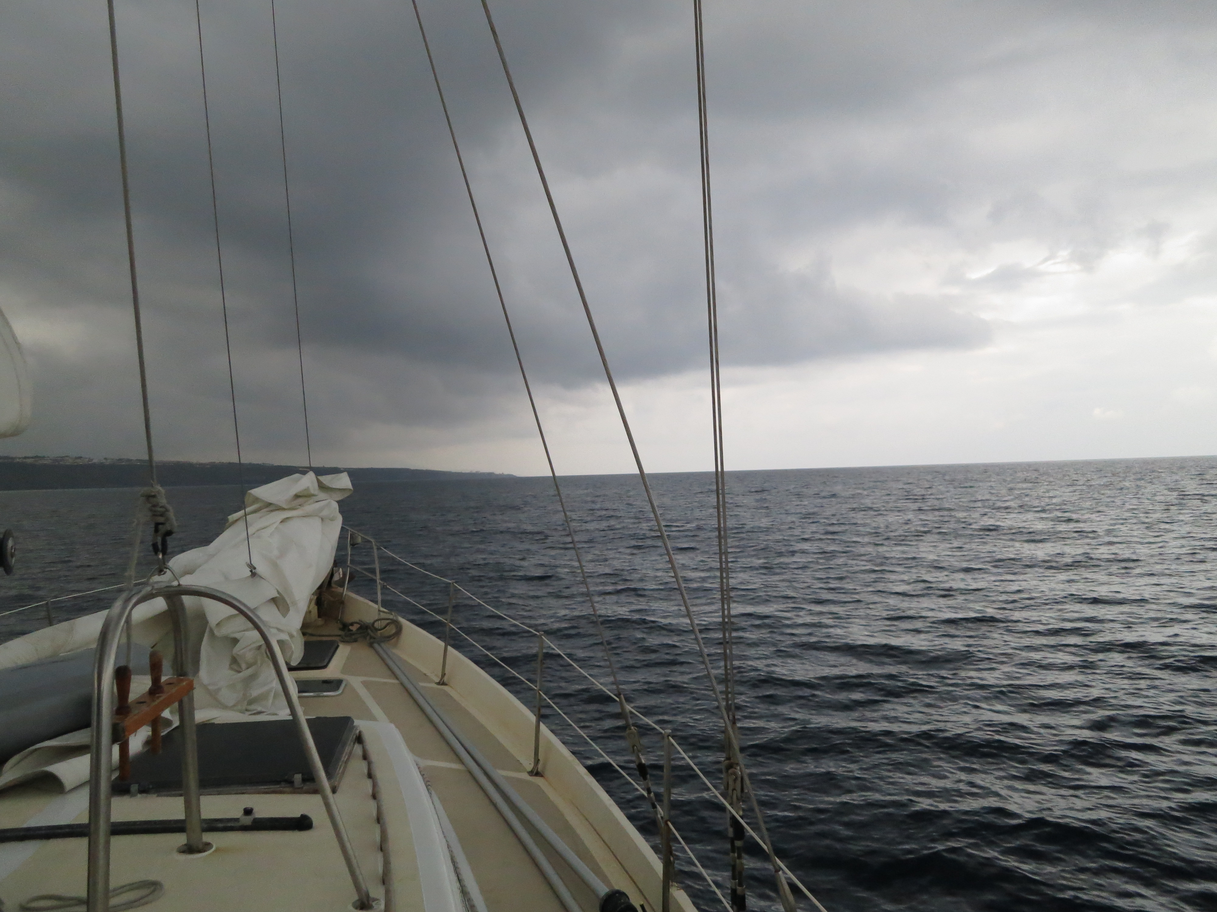
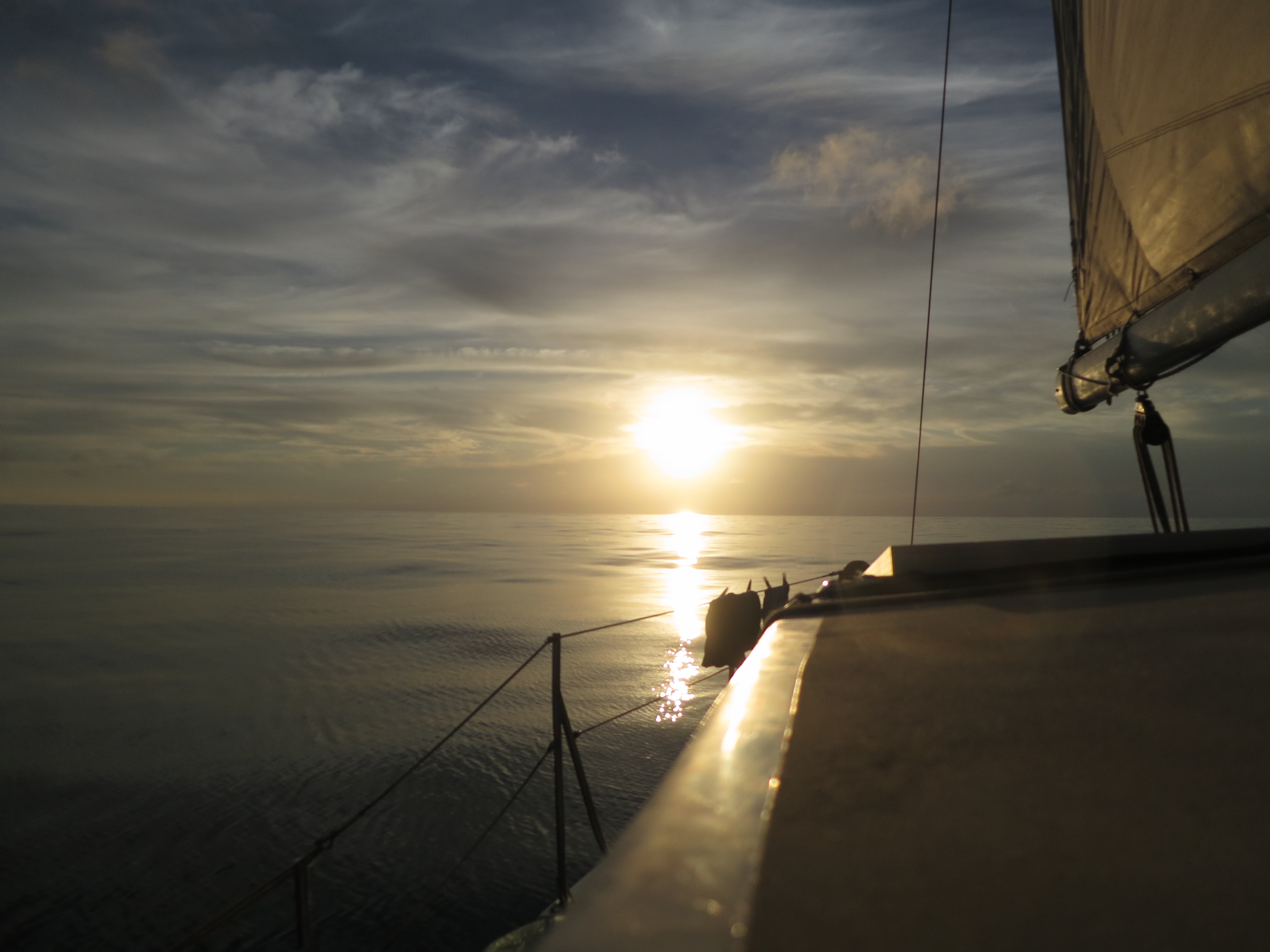
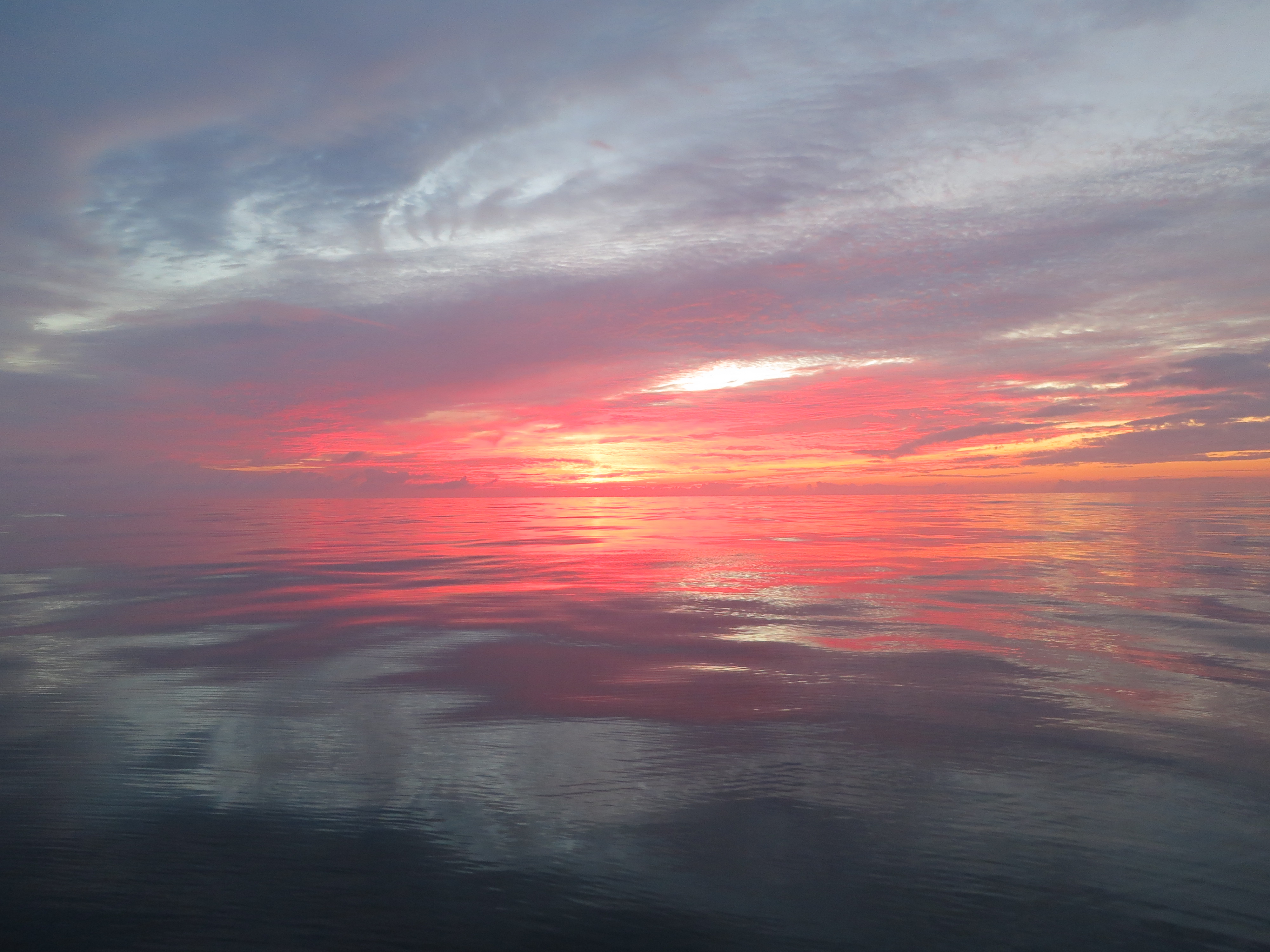
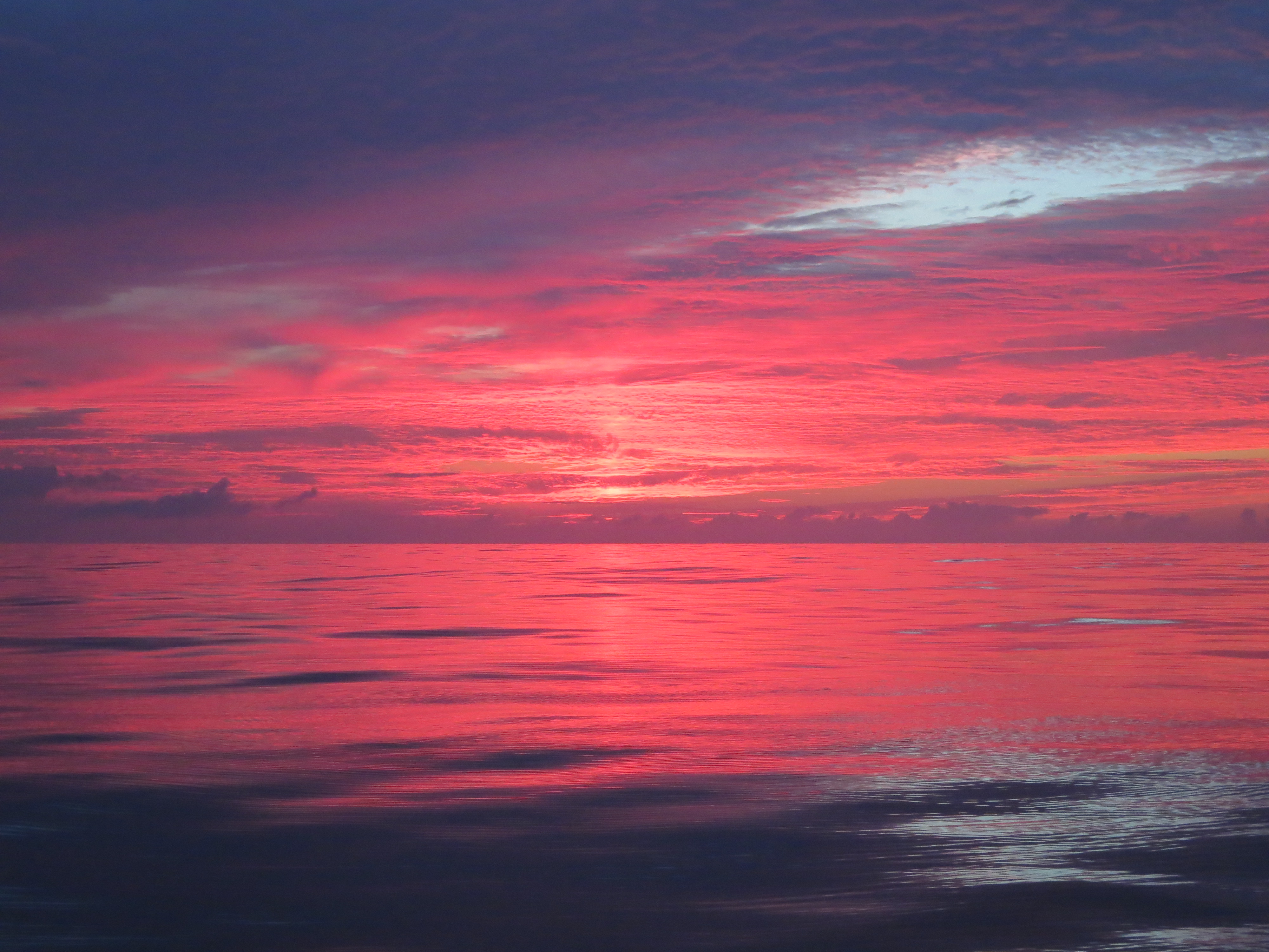
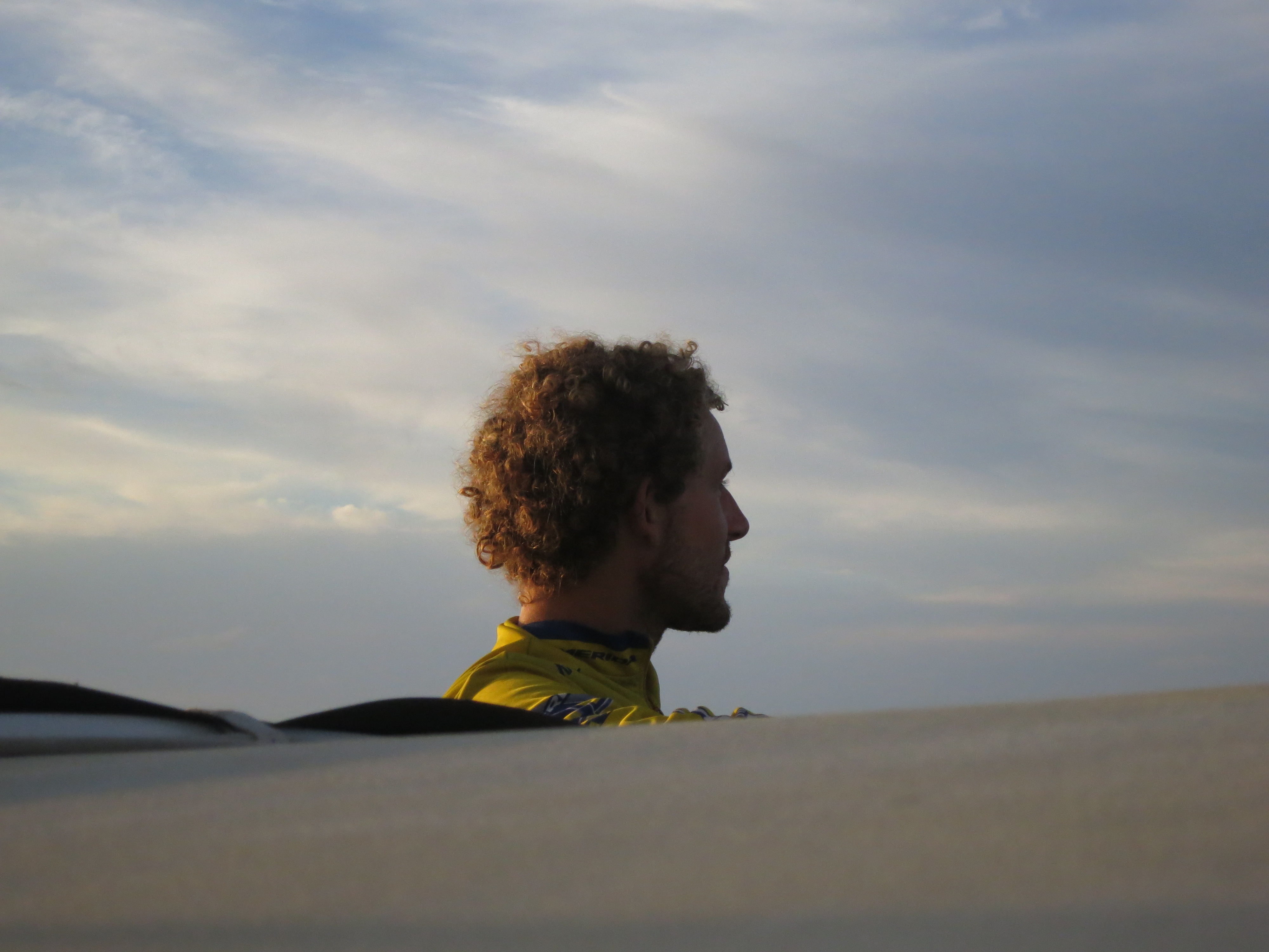
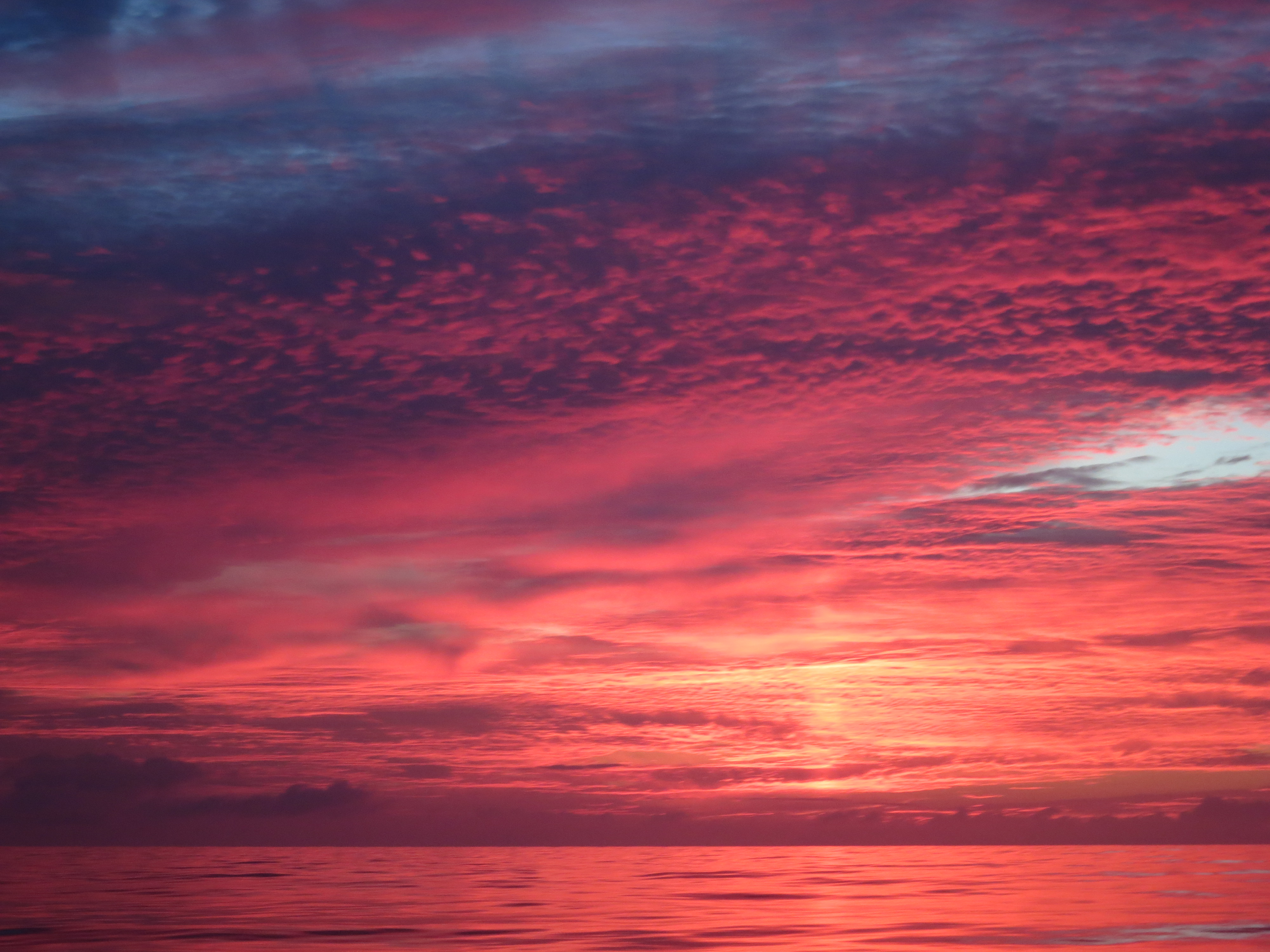
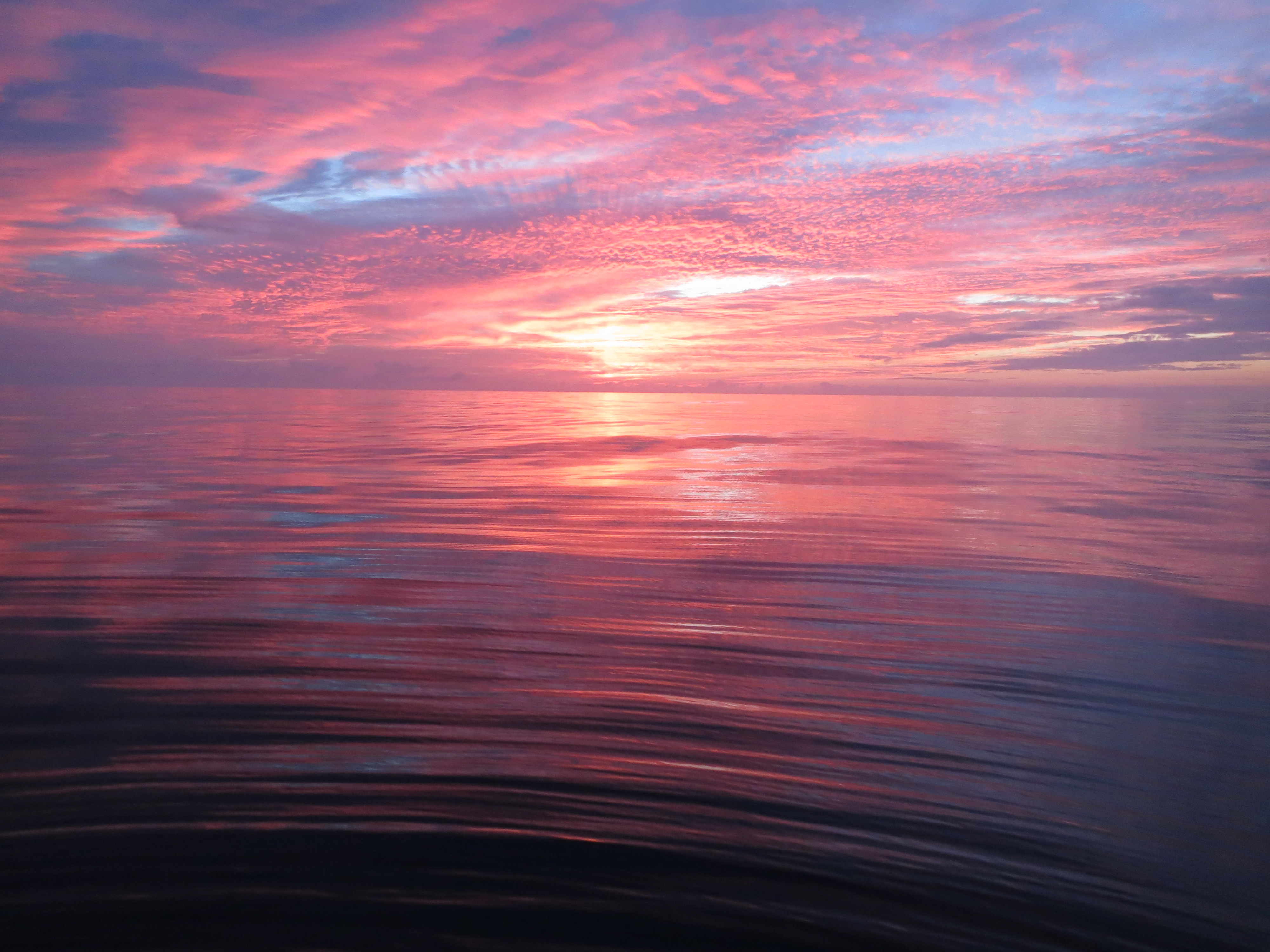
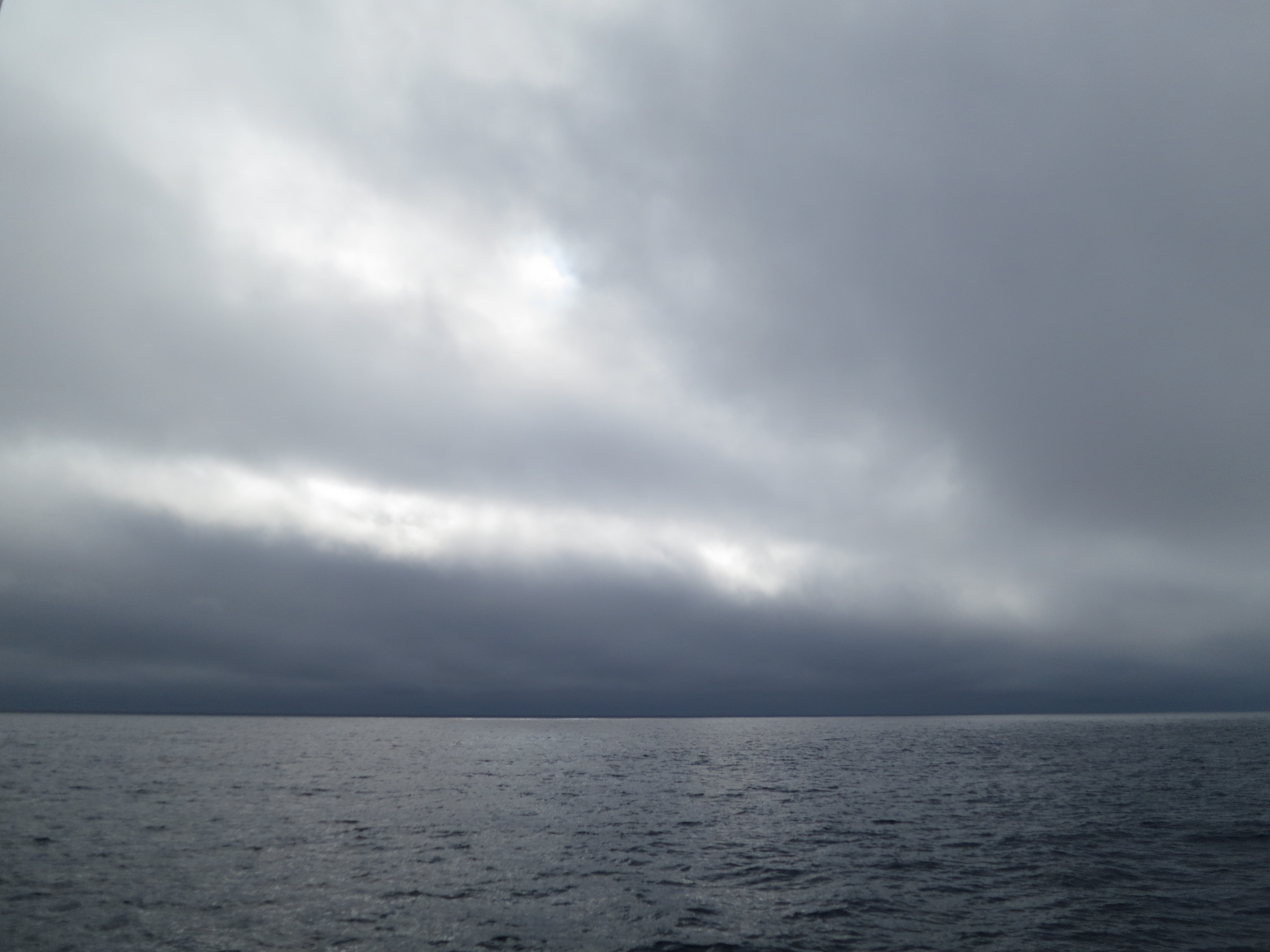
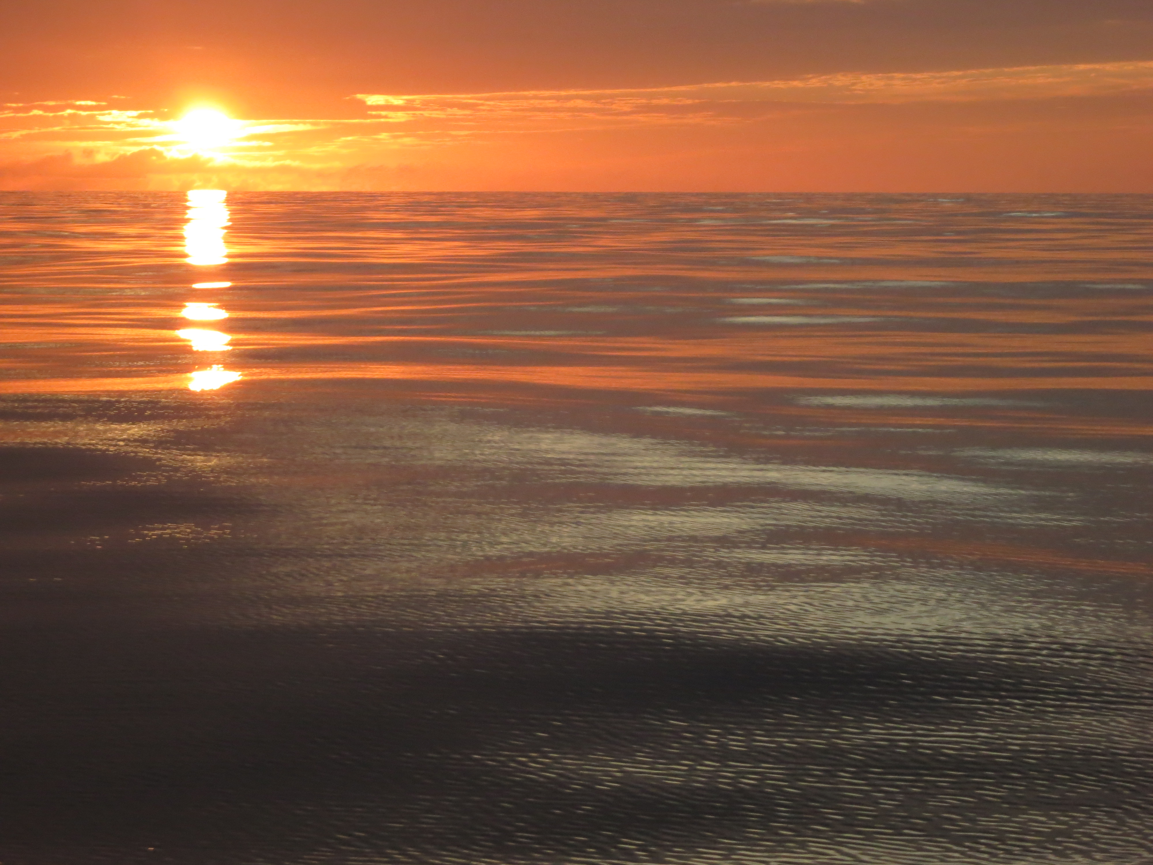
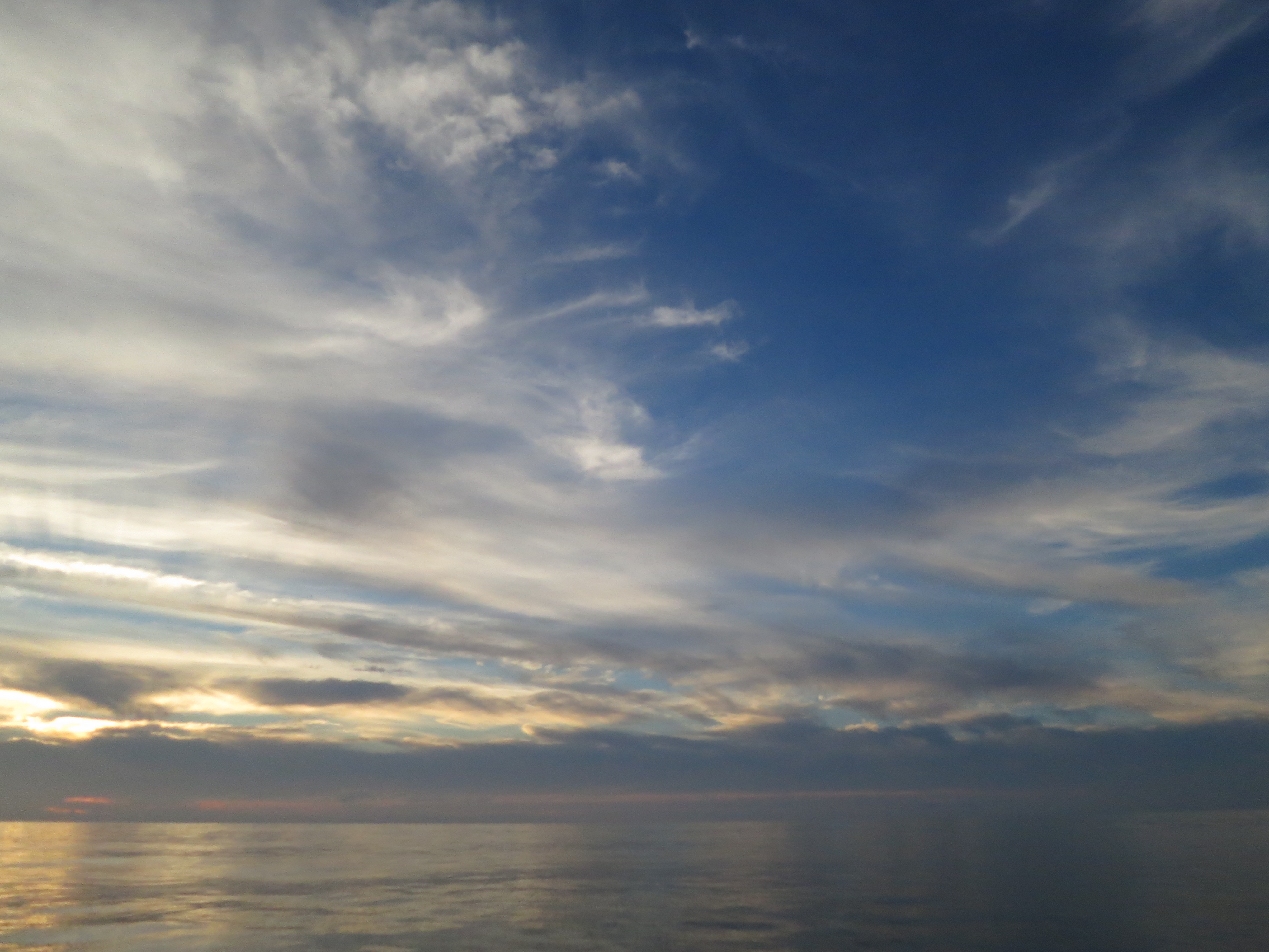
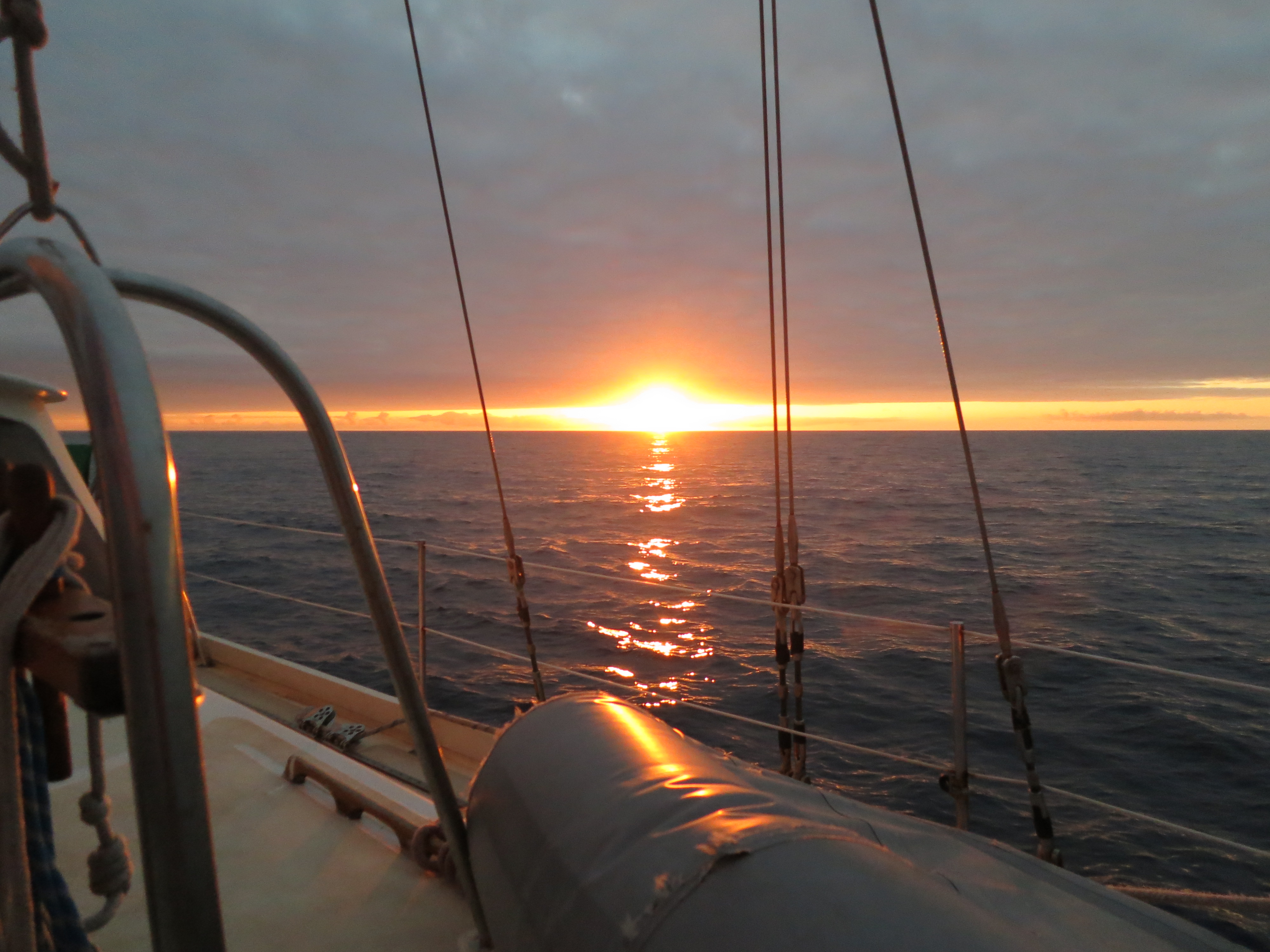
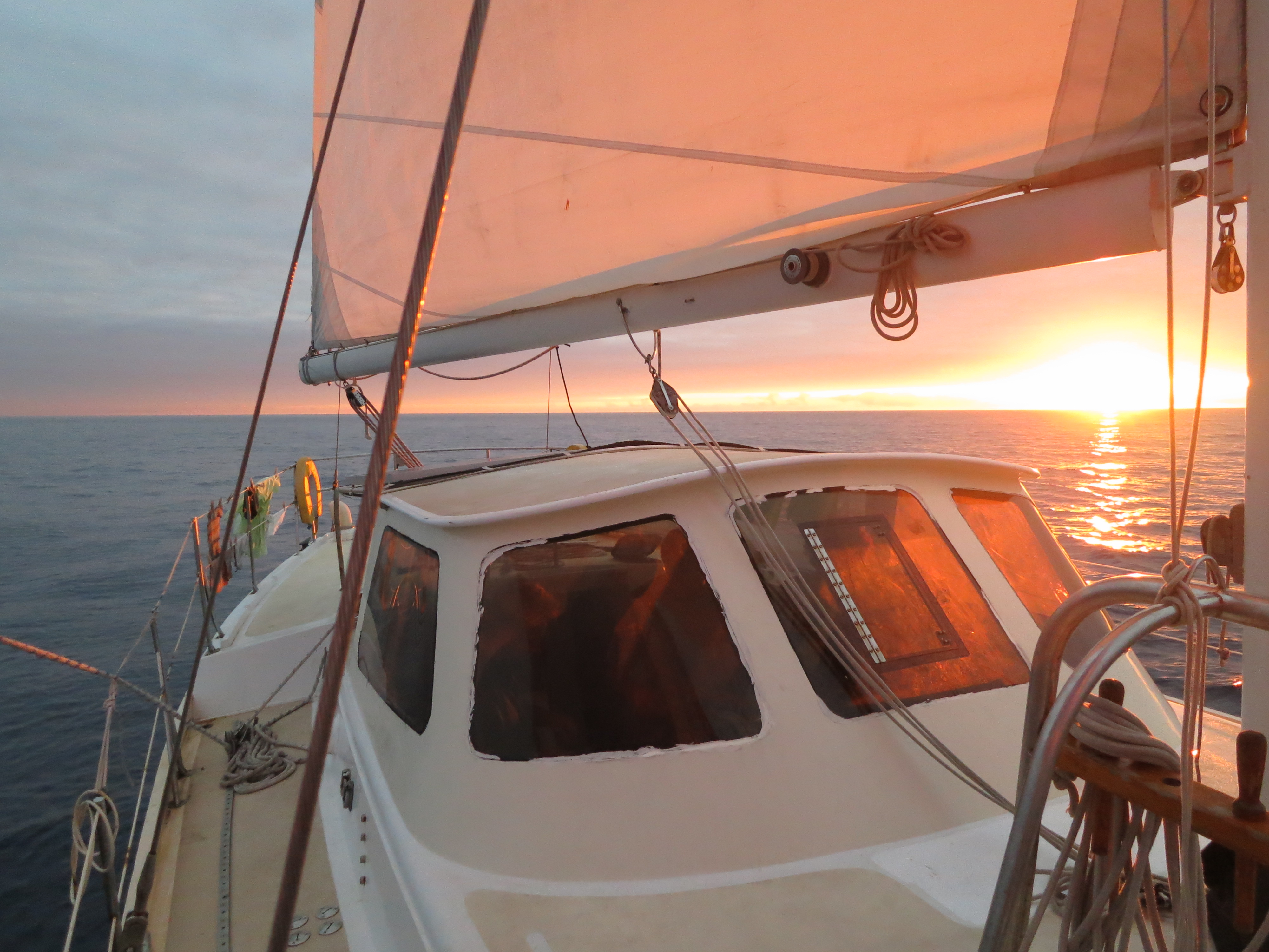
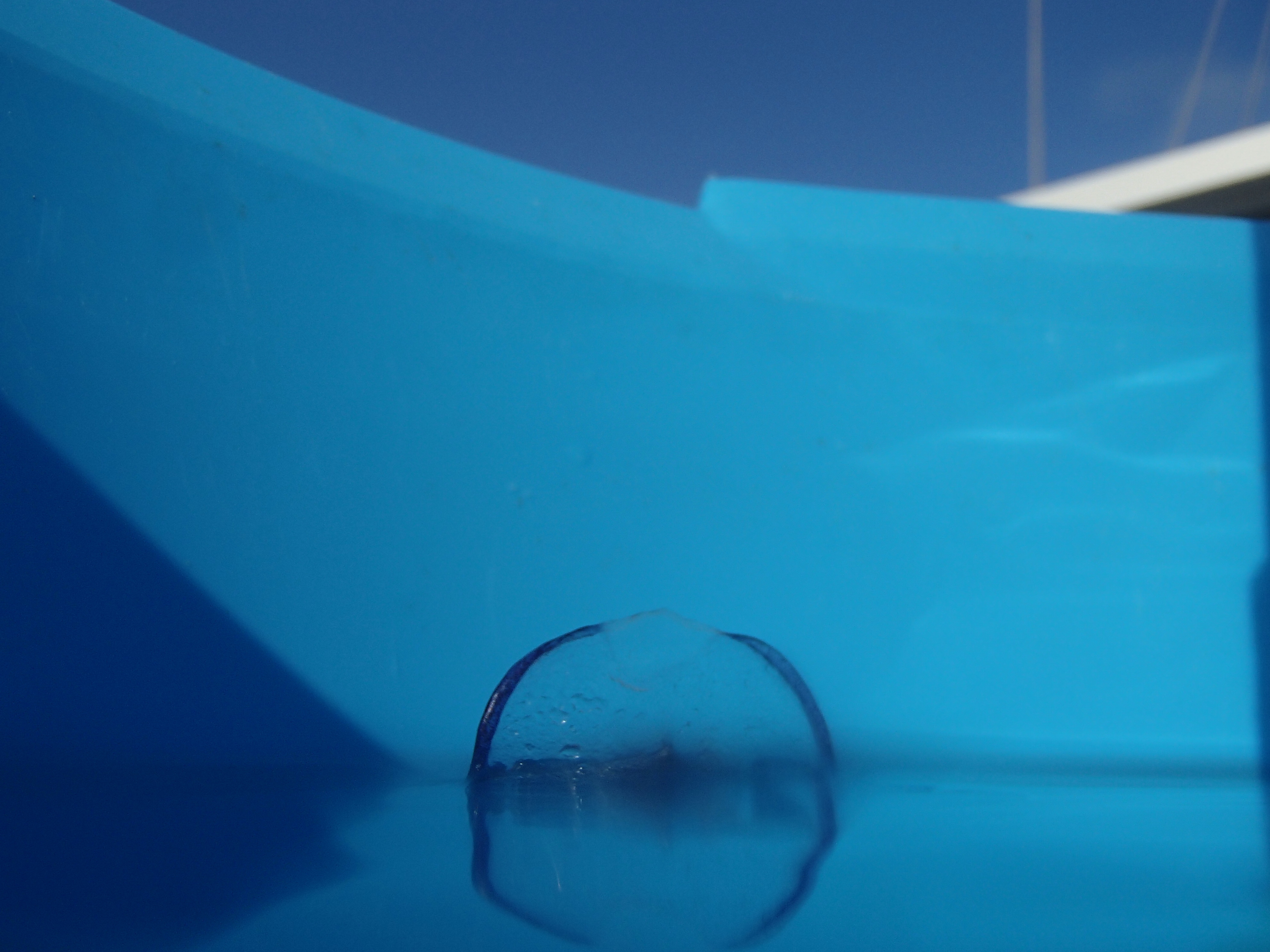
Benno’s camera is watertight, allowing us to shoot these images (action starting at 0:22):